Brentwood-Darlington, Portland
Brentwood-Darlington covers 1.8 square miles of Portland, and about 12,825 people live here. This page maps 19 parks and public places and 13 businesses inside its lines, most of them Food and Drink.
Brentwood-Darlington In Pictures
Parks, landmarks and local spots inside these lines. Tap a photo to open its page.
Living In Brentwood-Darlington
Brentwood-Darlington has about 12,825 people on 1.8 square miles, 7,205 per square mile, denser than Portland as a whole (4,239).
The median household earns $81,255 a year, 11% below the city median, #74 of 106 neighborhoods.
69% of homes are owned by the people living in them, and the median rent is $1,842 a month.
It is an older part of town: 56% of homes were built before 1960.
95% of homes have broadband internet.
Inside its lines: 7 parks, 5 schools, 4 places of worship, 2 trails and bike paths and 7 places to eat.
People
Money And Work
Housing
Getting Around
Connected
US Census Bureau American Community Survey 2020 to 2024, added up from the census tracts in Brentwood-Darlington. Ranks count neighborhoods with 500 or more people.
Parks, Schools And Public Places In Brentwood-Darlington
Parks 7
- Brentwood Park
- Errol Heights Park
- Flavel Park
- Harney Park
- Hazeltine Park
- Learning Gardens Laboratory
- Multnomah County Master Gardener Demonstration GardenSoutheast 57th Avenue, 97206
Schools 5
- Community Transistion Program at Green Thumb
- Lane Middle School7200 Southeast 60th Avenue, Portland, OR 97206
- Whitman Elementary School7326 Southeast Flavel Street, Portland, OR
- Whitman Head Start7326 Southeast Flavel Street, Portland
- Woodmere Elementary School7900 Southeast Duke Street, Portland, OR
Places Of Worship 4
- Asian Buddhist Community Congregation of Oregon6431 Southeast Flavel Street, Portland, OR
- Flavel Street Baptist Church6911 Southeast Flavel Street, Portland, 97206
- Hillside Southeast7220 Southeast Duke Street, Portland, 97206
- Iglesia Restauracion6950 Southeast Duke Street, Portland
Trails And Bike Paths 2
- Flavel Bike Boulevard
- Southeast 45th Avenue Bike Boulevard
Dog Parks 1
- Brentwood Dog Off-Leash Area
Places To Go In Brentwood-Darlington
The most reviewed spots inside these lines, with photos where they have one.
Businesses In Brentwood-Darlington
Is yours missing or wrong? List or fix it free.
Food and Drink 7
 Applebee's Grill + BarRestaurant
 Krispy KremeDonut shop
 Taco BellFast food restaurant
 Carl's Jr.Fast food restaurant
- Taco BellFast food restaurant
 Calaveras Mexican Restaurant (formerly Mi Pueblo)Mexican restaurant
- Schmizza Pub & GrubPizza restaurant
Shopping 4
 Sportsman's WarehouseOutdoor sports store
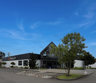 Ashley Store + OutletFurniture store
- Barnes & NobleBook store
- PetSmartPet supply store
Tech and Repair 1
 Best BuyElectronics store
Auto 1
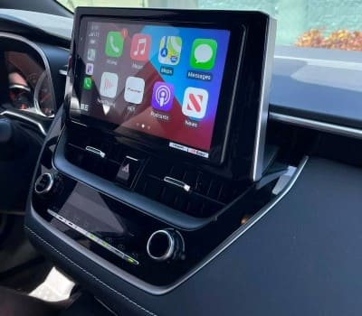 Car ToysCar stereo store
Neighborhoods Near Brentwood-Darlington
Own A Business In Portland
List it free on your neighborhood page in about two minutes. Townstoop is built by Clickflame, building local business sites since 2004.
Brentwood-Darlington Questions
How many people live in Brentwood-Darlington
About 12,825, from the Census American Community Survey tracts inside the Brentwood-Darlington lines.
What parks are in Brentwood-Darlington
7 mapped, including Brentwood Park, Errol Heights Park, Flavel Park, Harney Park.
How many schools are in Brentwood-Darlington
5 schools are mapped inside the neighborhood.
What is the rent like in Brentwood-Darlington
The Census median gross rent is $1,842 a month, against $1,655 for all of Portland.
Do people rent or own in Brentwood-Darlington
31% of homes are rented and 69% are owned, against 48% rented across Portland.
How do people get to work from Brentwood-Darlington
The average commute is 27 minutes. 57% drive alone, 5% take transit, 3% walk and 22% work from home.
How old are the homes in Brentwood-Darlington
56% were built before 1960 and 11% in 2010 or later. 89% are single family homes.
Is Brentwood-Darlington a family neighborhood
31% of households have children and 19% of residents are under 18. 12% are 65 or older.
Sources, Census figures from the US Census Bureau American Community Survey five year estimates, parks, schools and public places from OpenStreetMap contributors (ODbL). How we build these pages.